 vesseltracker.com
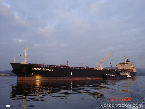
 BLUE EMBER
Current Status
Where is the vessel?
BLUE EMBER is currently in 52 nm NE of PENGERANG, based on AIS data received less than 1h ago.
Latest AIS update:
Current position: 1.90913° N, 104.81305° E (52 nm NE of PENGERANG)
Average speed (last 7 days): Loading…
Average speed (last 30 days): Loading…
Vessel profile: BLUE EMBER is a Tanker with dimensions m x m.
This page combines live AIS, route history, probable destination signals, nearby traffic, and port activity for practical vessel monitoring.
The current position of vessel BLUE EMBER is 1.90913 lat / 104.81305 lng. Updated: 2026-05-14 03:46:55 UTCNearest reference points:
- 51 nm NE of PENGERANG
- 53 nm NE of PENGERANG
- 55 nm NE of PENGERANG
Currently sailing under the flag of Sao Tome and Principe ![]()
Details:
Live Vessel BLUE EMBER Analytics (details, animations, etc.)
Recent AIS points (UTC):
2026-05-13 23:25:57 UTC · 1.91057, 104.81347 · SOG 0.1 kn · COG 255°2026-05-14 01:04:54 UTC · 1.90980, 104.81333 · SOG 0.1 kn · COG 266°
2026-05-14 01:31:54 UTC · 1.90985, 104.81333 · SOG 0.1 kn · COG 265°
2026-05-14 03:46:55 UTC · 1.90913, 104.81305 · SOG 0.1 kn · COG 287°