 vesseltracker.com
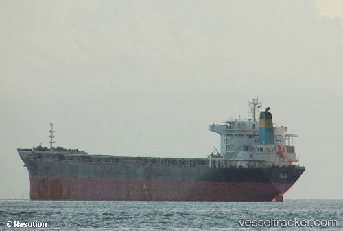
 JIAN XIANG
Current Status
Where is the vessel?
JIAN XIANG is currently in 45 nm E of Honghai, based on AIS data received about 1h ago.
Latest AIS update:
Current position: 19.62500° N, 111.81667° E (45 nm E of Honghai)
Average speed (last 7 days): Loading…
Average speed (last 30 days): Loading…
Vessel profile: JIAN XIANG is a Bulk Carrier with dimensions 32m x 225m.
This page combines live AIS, route history, probable destination signals, nearby traffic, and port activity for practical vessel monitoring.
The current position of vessel JIAN XIANG is 19.62500 lat / 111.81667 lng. Updated: 2026-05-14 10:43:35 UTCNearest reference points:
- Near Honghai
- 57 nm NE of Honghai
- Near Qinglan Pt
Currently sailing under the flag of Panama ![]()
JIAN XIANG built in 2004 year
Deadweight:
73601 tDetails:
Live Vessel JIAN XIANG Analytics (details, animations, etc.)
Recent AIS points (UTC):
2026-05-14 07:14:17 UTC · 19.13813, 112.22572 · SOG 10 kn · COG 316°2026-05-14 07:46:35 UTC · 19.20667, 112.15500 · SOG 10 kn · COG -1°
2026-05-14 09:09:06 UTC · 19.39814, 111.98982 · SOG 10 kn · COG 327°
2026-05-14 10:43:35 UTC · 19.62500, 111.81667 · SOG 10 kn · COG -1°