 vesseltracker.com
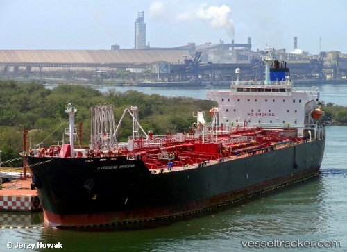
St Amrah
Current StatusWhere is the vessel?
St Amrah is currently in 77 nm S of Kpeme, based on AIS data received about 1h ago.
Latest AIS update:
Current position: 4.96967° N, 1.92542° E (77 nm S of Kpeme)
Average speed (last 7 days): Loading…
Average speed (last 30 days): Loading…
Vessel profile: St Amrah is a Chemical Oil Products Tanker with dimensions 32m x 182m.
This page combines live AIS, route history, probable destination signals, nearby traffic, and port activity for practical vessel monitoring.
The current position of vessel St Amrah is 4.96967 lat / 1.92542 lng. Updated: 2026-05-14 04:06:50 UTCNearest reference points:
- Near Ablogamé
- Near Cotonou
- Near Apapa
Details:
Live Vessel St Amrah Analytics (details, animations, etc.)
Recent AIS points (UTC):
2026-05-14 01:21:33 UTC · 5.29945, 1.72447 · SOG 8.5 kn · COG 154°2026-05-14 01:21:33 UTC · 5.29945, 1.72447 · SOG 8.5 kn · COG 154°
2026-05-14 02:53:20 UTC · 5.11353, 1.83167 · SOG 8.2 kn · COG 158°
2026-05-14 04:06:50 UTC · 4.96967, 1.92542 · SOG 8.7 kn · COG 143°