 JUPITER
Current Status
Where is the vessel?
JUPITER is currently in 100 nm E of Thorshavn, based on AIS data received about 14h ago.
Latest AIS update:
Current position: 62.46163° N, 2.64285° W (100 nm E of Thorshavn)
Average speed (last 7 days): Loading…
Average speed (last 30 days): Loading…
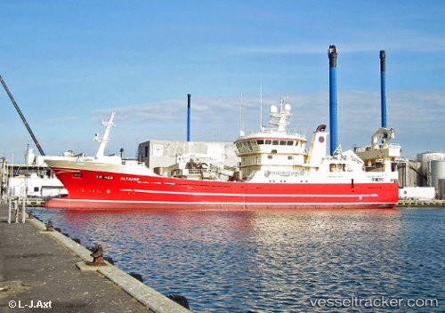
Vessel profile: JUPITER is a Fishing with dimensions m x m.
This page combines live AIS, route history, probable destination signals, nearby traffic, and port activity for practical vessel monitoring.
The current position of vessel JUPITER is 62.46163 lat / -2.64285 lng. Updated: 2026-05-23 11:36:02 UTCNearest reference points:
- 32 nm NW of Eshaness
- 36 nm NW of Ham Voe, Foula
Details:
Live Vessel JUPITER Analytics (details, animations, etc.)
Recent AIS points (UTC):
2026-05-23 07:56:06 UTC · 62.47334, -3.21989 · SOG 10.5 kn · COG 129°2026-05-23 09:46:05 UTC · 62.36924, -2.84771 · SOG 5.2 kn · COG 38°
2026-05-23 11:12:05 UTC · 62.45451, -2.69892 · SOG 4.3 kn · COG 58°
2026-05-23 11:36:02 UTC · 62.46163, -2.64285 · SOG 3.9 kn · COG 98°