 vesseltracker.com
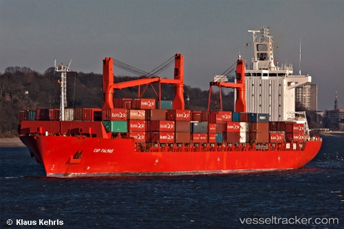
 SPIL NIKEN
Current Status
Where is the vessel?
SPIL NIKEN is currently in 34 nm SE of Dashihuagang, based on AIS data received about 1h ago.
Latest AIS update:
Current position: 38.48010° N, 122.07621° E (34 nm SE of Dashihuagang)
Average speed (last 7 days): Loading…
Average speed (last 30 days): Loading…
Vessel profile: SPIL NIKEN is a Container Ship with dimensions 30m x 208m.
This page combines live AIS, route history, probable destination signals, nearby traffic, and port activity for practical vessel monitoring.
The current position of vessel SPIL NIKEN is 38.48010 lat / 122.07621 lng. Updated: 2026-05-15 19:49:09 UTCNearest reference points:
- 37 nm SE of Dalian
- 28 nm SE of Dalian
- 22 nm SE of Dalian
Currently sailing under the flag of Panama ![]()
SPIL NIKEN built in 2003 year
Deadweight:
33891 tDetails:
Live Vessel SPIL NIKEN Analytics (details, animations, etc.)
Recent AIS points (UTC):
2026-05-15 16:58:39 UTC · 38.48273, 122.04854 · SOG 0.6 kn · COG 239°2026-05-15 18:02:59 UTC · 38.48775, 122.06549 · SOG 0.9 kn · COG 234°
2026-05-15 19:39:39 UTC · 38.49671, 122.09022 · SOG 4.3 kn · COG 210°
2026-05-15 19:49:09 UTC · 38.48010, 122.07621 · SOG 8.6 kn · COG 231°