 vesseltracker.com
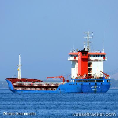
 Hikmet K
Current Status
Where is the vessel?
Hikmet K is currently in Near Agigea, based on AIS data received less than 1h ago.
Latest AIS update:
Current position: 44.10330° N, 28.65225° E (Near Agigea)
Average speed (last 7 days): Loading…
Average speed (last 30 days): Loading…
Vessel profile: Hikmet K is a General Cargo Ship with dimensions 95m x 17m.
This page combines live AIS, route history, probable destination signals, nearby traffic, and port activity for practical vessel monitoring.
The current position of vessel Hikmet K is 44.10330 lat / 28.65225 lng. Updated: 2026-03-30 03:39:48 UTCNearest reference points:
- Near Constanta
- Near Ovidiu
- Near MIDIA
Currently sailing under the flag of Turkey ![]()
Hikmet K built in 2004 year
Deadweight:
5800 tDetails:
Live Vessel Hikmet K Analytics (details, animations, etc.)
Recent AIS points (UTC):
2026-03-29 22:23:14 UTC · 44.10328, 28.65228 · SOG 0 kn · COG 185°2026-03-29 23:39:49 UTC · 44.10330, 28.65225 · SOG 0 kn · COG 185°
2026-03-30 01:45:49 UTC · 44.10330, 28.65226 · SOG 0 kn · COG 185°
2026-03-30 03:39:48 UTC · 44.10330, 28.65225 · SOG 0 kn · COG 185°