 vesseltracker.com
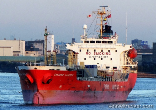
 EROWATI I
Current Status
Where is the vessel?
EROWATI I is currently in 218 nm SE of GANGAVARAM, based on AIS data received about 1h ago.
Latest AIS update:
Current position: 14.87333° N, 85.70667° E (218 nm SE of GANGAVARAM)
Average speed (last 7 days): Loading…
Average speed (last 30 days): Loading…
Vessel profile: EROWATI I is a Oil/Chemical Tanker with dimensions m x m.
This page combines live AIS, route history, probable destination signals, nearby traffic, and port activity for practical vessel monitoring.
The current position of vessel EROWATI I is 14.87333 lat / 85.70667 lng. Updated: 2026-05-14 02:14:00 UTCCurrently sailing under the flag of Indonesia ![]()
Details:
Live Vessel EROWATI I Analytics (details, animations, etc.)
Recent AIS points (UTC):
2026-05-13 22:48:51 UTC · 14.27833, 86.26833 · SOG 13 kn · COG -1°2026-05-13 23:18:58 UTC · 14.36500, 86.18500 · SOG 14 kn · COG -1°
2026-05-14 00:58:40 UTC · 14.65333, 85.91333 · SOG 14 kn · COG -1°
2026-05-14 02:14:00 UTC · 14.87333, 85.70667 · SOG 14 kn · COG -1°