 vesseltracker.com
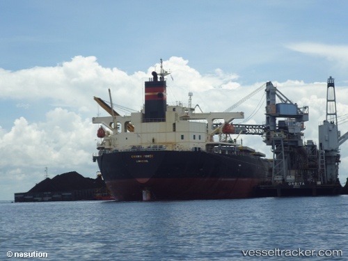
 GREEN POWER
Current Status
Where is the vessel?
GREEN POWER is currently in 53 nm SE of Sabahat, based on AIS data received about 4h ago.
Latest AIS update:
Current position: 4.41520° N, 119.61882° E (53 nm SE of Sabahat)
Average speed (last 7 days): Loading…
Average speed (last 30 days): Loading…
Vessel profile: GREEN POWER is a Bulk Carrier with dimensions m x m.
This page combines live AIS, route history, probable destination signals, nearby traffic, and port activity for practical vessel monitoring.
The current position of vessel GREEN POWER is 4.41520 lat / 119.61882 lng. Updated: 2026-05-14 15:56:28 UTCNearest reference points:
- 80 nm SE of Labuan Haji
- 43 nm E of Sibuko Bay
- 66 nm W of Jolo
Currently sailing under the flag of Panama ![]()
Details:
Live Vessel GREEN POWER Analytics (details, animations, etc.)
Recent AIS points (UTC):
2026-05-14 15:22:29 UTC · 4.53212, 119.62718 · SOG 12.4 kn · COG 179°2026-05-14 15:56:28 UTC · 4.41520, 119.61882 · SOG 12.3 kn · COG 188°
2026-05-14 15:56:28 UTC · 4.41520, 119.61882 · SOG 12.3 kn · COG 188°
2026-05-14 15:56:28 UTC · 4.41520, 119.61882 · SOG 12.3 kn · COG 188°