 vesseltracker.com
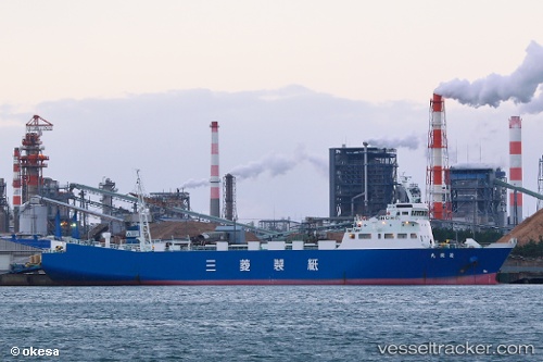
 HARMONI MAS 89
Current Status
Where is the vessel?
HARMONI MAS 89 is currently in 18 nm SW of Exspan, based on AIS data received less than 1h ago.
Latest AIS update:
Current position: 2.06455° S, 104.97841° E (18 nm SW of Exspan)
Average speed (last 7 days): Loading…
Average speed (last 30 days): Loading…
Vessel profile: HARMONI MAS 89 is a Cargo with dimensions m x m.
This page combines live AIS, route history, probable destination signals, nearby traffic, and port activity for practical vessel monitoring.
The current position of vessel HARMONI MAS 89 is -2.06455 lat / 104.97841 lng. Updated: 2026-05-16 13:51:28 UTCNearest reference points:
- 36 nm SW of Exspan
- 38 nm SW of PANGKAL BALAM
- Near Kertapati
Currently sailing under the flag of Indonesia ![]()
Details:
Live Vessel HARMONI MAS 89 Analytics (details, animations, etc.)
Recent AIS points (UTC):
2026-05-16 06:54:59 UTC · -0.89987, 104.31284 · SOG 11.7 kn · COG 138°2026-05-16 12:25:19 UTC · -1.82201, 104.92054 · SOG 11.7 kn · COG 161°
2026-05-16 13:38:07 UTC · -2.02718, 104.98920 · SOG 10.5 kn · COG 204°
2026-05-16 13:51:28 UTC · -2.06455, 104.97841 · SOG 10.5 kn · COG 210°