 vesseltracker.com
 Gures
Gures
Current Status
Where is the vessel?
Gures is currently in Near Lutelandet, based on AIS data received less than 1h ago.
Latest AIS update:
Current position: 61.24437° N, 4.97658° E (Near Lutelandet)
Average speed (last 7 days): Loading…
Average speed (last 30 days): Loading…
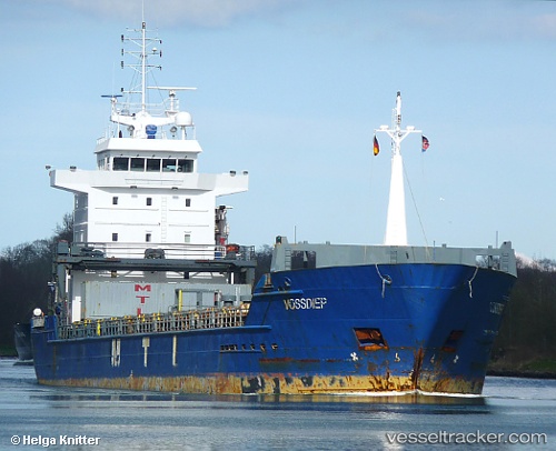
Vessel profile: Gures is a Multi Purpose Carrier with dimensions 118m x 15m.
This page combines live AIS, route history, probable destination signals, nearby traffic, and port activity for practical vessel monitoring.
The current position of vessel Gures is 61.24437 lat / 4.97658 lng. Updated: 2026-05-16 15:33:34 UTCNearest reference points:
- Near Solund
- Near Eivindvik
- Near Eikefjord
Currently sailing under the flag of Portugal ![]()
Gures built in 2003 year
Deadweight:
7250 tDetails:
Live Vessel Gures Analytics (details, animations, etc.)
Recent AIS points (UTC):
2026-05-16 12:22:35 UTC · 61.03731, 4.92772 · SOG 11.2 kn · COG 55°2026-05-16 14:01:23 UTC · 61.24439, 4.97661 · SOG 0 kn · COG 270°
2026-05-16 14:06:23 UTC · 61.24437, 4.97662 · SOG 0 kn · COG 270°
2026-05-16 15:33:34 UTC · 61.24437, 4.97658 · SOG 0 kn · COG 270°