 vesseltracker.com
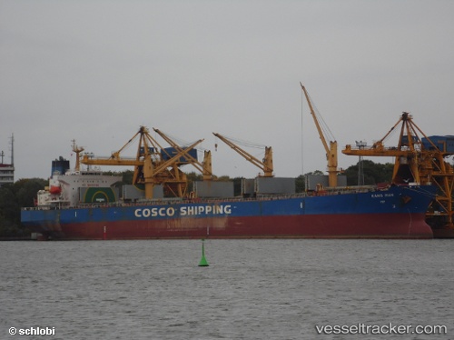
 KANG MAN
Current Status
Where is the vessel?
KANG MAN is currently in 298 nm S of Selat Lombok, based on AIS data received about 1h ago.
Latest AIS update:
Current position: 13.77500° S, 115.20333° E (298 nm S of Selat Lombok)
Average speed (last 7 days): Loading…
Average speed (last 30 days): Loading…
Vessel profile: KANG MAN is a Bulk Carrier with dimensions 190m x 32m.
This page combines live AIS, route history, probable destination signals, nearby traffic, and port activity for practical vessel monitoring.
The current position of vessel KANG MAN is -13.77500 lat / 115.20333 lng. Updated: 2026-05-01 05:26:49 UTCNearest reference points:
- 244 nm N of Mutineer
Currently sailing under the flag of China Peopless Republic ![]()
KANG MAN built in 2004 year
Deadweight:
52818 tDetails:
Live Vessel KANG MAN Analytics (details, animations, etc.)
Recent AIS points (UTC):
2026-05-01 01:13:45 UTC · -13.31667, 114.52833 · SOG 11 kn · COG -1°2026-05-01 03:50:15 UTC · -13.59833, 114.95167 · SOG 11 kn · COG -1°
2026-05-01 04:42:53 UTC · -13.70517, 115.08388 · SOG 11.2 kn · COG 128°
2026-05-01 05:26:49 UTC · -13.77500, 115.20333 · SOG 11 kn · COG -1°