 vesseltracker.com
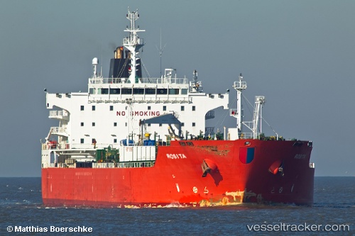
St Ilhaam
Current StatusWhere is the vessel?
St Ilhaam is currently in Near Bonny, based on AIS data received about 1h ago.
Latest AIS update:
Current position: 4.42698° N, 7.14562° E (Near Bonny)
Average speed (last 7 days): Loading…
Average speed (last 30 days): Loading…
Vessel profile: St Ilhaam is a Chemical Oil Products Tanker with dimensions 32m x 180m.
This page combines live AIS, route history, probable destination signals, nearby traffic, and port activity for practical vessel monitoring.
The current position of vessel St Ilhaam is 4.42698 lat / 7.14562 lng. Updated: 2026-05-15 11:44:10 UTCNearest reference points:
- Near Bonny
- Near Onne
- Near Ima
Details:
Live Vessel St Ilhaam Analytics (details, animations, etc.)
Recent AIS points (UTC):
2026-05-15 07:38:13 UTC · 4.42698, 7.14557 · SOG 0 kn · COG 219°2026-05-15 09:53:13 UTC · 4.42693, 7.14562 · SOG 0 kn · COG 219°
2026-05-15 10:14:12 UTC · 4.42694, 7.14562 · SOG 0 kn · COG 219°
2026-05-15 11:44:10 UTC · 4.42698, 7.14562 · SOG 0 kn · COG 219°