 vesseltracker.com
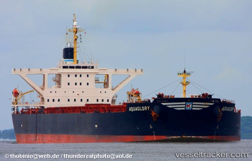
 CAPE TAIZHOU
Current Status
Where is the vessel?
CAPE TAIZHOU is currently in 60 nm S of Ol'ga, based on AIS data received less than 1h ago.
Latest AIS update:
Current position: 42.78965° N, 135.76576° E (60 nm S of Ol'ga)
Average speed (last 7 days): Loading…
Average speed (last 30 days): Loading…
Vessel profile: CAPE TAIZHOU is a Bulk Carrier with dimensions m x m.
This page combines live AIS, route history, probable destination signals, nearby traffic, and port activity for practical vessel monitoring.
The current position of vessel CAPE TAIZHOU is 42.78965 lat / 135.76576 lng. Updated: 2026-05-14 19:36:26 UTCNearest reference points:
- 30 nm S of Ol'ga
- 33 nm NE of Ol'ga
- 37 nm SW of PLASTUN
Currently sailing under the flag of Panama ![]()
Details:
Live Vessel CAPE TAIZHOU Analytics (details, animations, etc.)
Recent AIS points (UTC):
2026-05-14 16:45:34 UTC · 42.38341, 135.41748 · SOG 10.1 kn · COG 31°2026-05-14 17:38:54 UTC · 42.50940, 135.52702 · SOG 10.2 kn · COG 30°
2026-05-14 17:44:14 UTC · 42.52215, 135.53775 · SOG 10.2 kn · COG 29°
2026-05-14 19:36:26 UTC · 42.78965, 135.76576 · SOG 10.4 kn · COG 32°