 vesseltracker.com
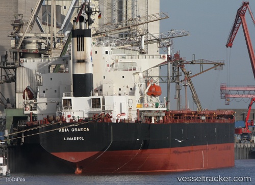
 DOLPHIN 77
Current Status
Where is the vessel?
DOLPHIN 77 is currently in 235 nm W of Tindalo Oil Field, based on AIS data received about 1h ago.
Latest AIS update:
Current position: 11.79031° N, 114.97767° E (235 nm W of Tindalo Oil Field)
Average speed (last 7 days): Loading…
Average speed (last 30 days): Loading…
Vessel profile: DOLPHIN 77 is a Bulk Carrier with dimensions m x m.
This page combines live AIS, route history, probable destination signals, nearby traffic, and port activity for practical vessel monitoring.
The current position of vessel DOLPHIN 77 is 11.79031 lat / 114.97767 lng. Updated: 2026-05-14 22:51:14 UTCNearest reference points:
- 237 nm W of Tindalo Oil Field
- 220 nm N of Pulau Lang Lang
- 175 nm N of Pulau Lang Lang
Currently sailing under the flag of Panama ![]()
Details:
Live Vessel DOLPHIN 77 Analytics (details, animations, etc.)
Recent AIS points (UTC):
2026-05-14 19:20:45 UTC · 11.21752, 115.16803 · SOG 10 kn · COG 341°2026-05-14 20:00:36 UTC · 11.32653, 115.13010 · SOG 10 kn · COG 345°
2026-05-14 20:00:36 UTC · 11.32653, 115.13010 · SOG 10 kn · COG 345°
2026-05-14 22:51:14 UTC · 11.79031, 114.97767 · SOG 10 kn · COG 339°