 vesseltracker.com
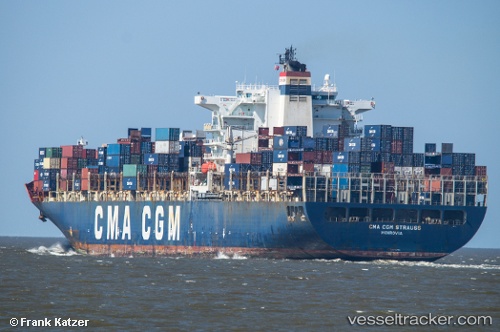
 GSL CHRISTEL ELISABETH
Current Status
Where is the vessel?
GSL CHRISTEL ELISABETH is currently in 124 nm E of NANTUCKET, based on AIS data received about 1h ago.
Latest AIS update:
Current position: 40.56381° N, 67.51858° W (124 nm E of NANTUCKET)
Average speed (last 7 days): Loading…
Average speed (last 30 days): Loading…
Vessel profile: GSL CHRISTEL ELISABETH is a Container Ship with dimensions 277m x 40m.
This page combines live AIS, route history, probable destination signals, nearby traffic, and port activity for practical vessel monitoring.
The current position of vessel GSL CHRISTEL ELISABETH is 40.56381 lat / -67.51858 lng. Updated: 2026-05-16 11:34:46 UTCNearest reference points:
- 28 nm SE of East Harwich
- 126 nm SE of Offshore Ambrose
- 30 nm E of York Beach
Currently sailing under the flag of Liberia ![]()
GSL CHRISTEL ELISABETH built in 2004 year
Deadweight:
73235 tDetails:
Live Vessel GSL CHRISTEL ELISABETH Analytics (details, animations, etc.)
Recent AIS points (UTC):
2026-05-16 10:48:03 UTC · 40.56102, -67.19829 · SOG 18.2 kn · COG 271°2026-05-16 10:48:03 UTC · 40.56102, -67.19829 · SOG 18.2 kn · COG 271°
2026-05-16 11:34:46 UTC · 40.56381, -67.51858 · SOG 19 kn · COG 271°
2026-05-16 11:34:46 UTC · 40.56381, -67.51858 · SOG 19 kn · COG 271°