 vesseltracker.com
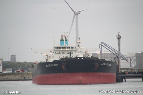
 AQUILA II
Current Status
Where is the vessel?
AQUILA II is currently in 19 nm W of Tanjong Bin, based on AIS data received about 20d ago.
Latest AIS update:
Current position: 1.34383° N, 103.23470° E (19 nm W of Tanjong Bin)
Average speed (last 7 days): Loading…
Average speed (last 30 days): Loading…
Vessel profile: AQUILA II is a Crude Oil Tanker with dimensions 274m x 274m.
This page combines live AIS, route history, probable destination signals, nearby traffic, and port activity for practical vessel monitoring.
The current position of vessel AQUILA II is 1.34383 lat / 103.23470 lng. Updated: 2026-04-10 08:09:04 UTCNearest reference points:
- 19 nm W of Tanjong Bin
- 15 nm W of Tanjong Bin
- 17 nm NE of Perawang
Currently sailing under the flag of Panama ![]()
AQUILA II built in 2004 year
Deadweight:
159073 tDetails:
Live Vessel AQUILA II Analytics (details, animations, etc.)
Recent AIS points (UTC):
2026-04-10 08:09:04 UTC · 1.34383, 103.23470 · SOG 11.6 kn · COG 134°