 vesseltracker.com
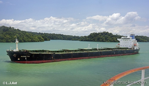
 Marietta
Current Status
Where is the vessel?
Marietta is currently in 76 nm SW of Iba, based on AIS data received less than 1h ago.
Latest AIS update:
Current position: 14.64909° N, 118.84798° E (76 nm SW of Iba)
Average speed (last 7 days): Loading…
Average speed (last 30 days): Loading…
Vessel profile: Marietta is a Bulk Carrier with dimensions 225m x 32m.
This page combines live AIS, route history, probable destination signals, nearby traffic, and port activity for practical vessel monitoring.
The current position of vessel Marietta is 14.64909 lat / 118.84798 lng. Updated: 2026-05-15 13:19:42 UTCNearest reference points:
- 34 nm W of Iba
- 19 nm SW of MARIVELES
- Near Nasugbu, Luzon
Currently sailing under the flag of Malta ![]()
Marietta built in 2004 year
Deadweight:
73880 tDetails:
Live Vessel Marietta Analytics (details, animations, etc.)
Recent AIS points (UTC):
2026-05-15 10:14:44 UTC · 14.19156, 119.15586 · SOG 10.9 kn · COG 327°2026-05-15 10:14:44 UTC · 14.19156, 119.15586 · SOG 10.9 kn · COG 327°
2026-05-15 10:14:44 UTC · 14.19156, 119.15586 · SOG 10.9 kn · COG 327°
2026-05-15 13:19:42 UTC · 14.64909, 118.84798 · SOG 10.6 kn · COG 332°