 vesseltracker.com
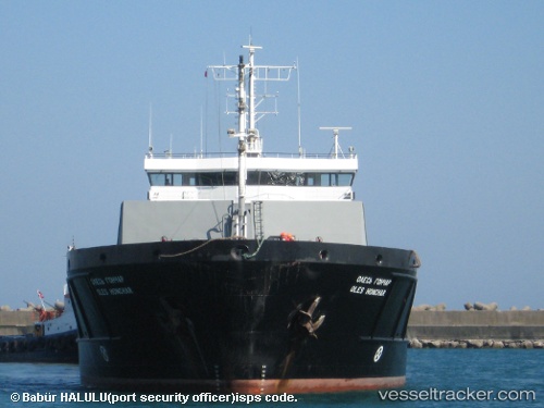
Vessel Karewood Brave IMO: 9281516, MMSI: 311000611 General Cargo Ship
UTC, 37.74037, 7.30255, course: 92, speed: 9.5
UTC, 37.70284, 7.78574, course: 89, speed: 8.9
2026-02-22 17:22:18 UTC, 37.69228, 7.96884, course: 93, speed: 8.6
Live AIS position:
UTC. 41 nm NW of Estombar),
updated 2026-02-22 17:22:18 UTC.
Find the position of the vessel Karewood Brave on the map. The latter are known coordinates and path.
marine traffic ship tracker show on live map
The current position of vessel Karewood Brave is 37.69228 lat / 7.96884 lng. Updated: 2026-02-22 17:22:18 UTCCurrently sailing under the flag of Bahamas
Karewood Brave built in 2006 year
Deadweight:
6315 tDetails:
Last coordinates of the vessel:
UTC, 37.76004, 7.01049, course: 93, speed: 10.1UTC, 37.74037, 7.30255, course: 92, speed: 9.5
UTC, 37.70284, 7.78574, course: 89, speed: 8.9
2026-02-22 17:22:18 UTC, 37.69228, 7.96884, course: 93, speed: 8.6