 vesseltracker.com
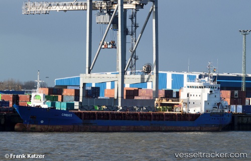
 NORDLAND
Current Status
Where is the vessel?
NORDLAND is currently in Near Iggesund, based on AIS data received about 1h ago.
Latest AIS update:
Current position: 61.62267° N, 17.12413° E (Near Iggesund)
Average speed (last 7 days): Loading…
Average speed (last 30 days): Loading…
Vessel profile: NORDLAND is a General Cargo Ship with dimensions 90m x 14m.
This page combines live AIS, route history, probable destination signals, nearby traffic, and port activity for practical vessel monitoring.
The current position of vessel NORDLAND is 61.62267 lat / 17.12413 lng. Updated: 2026-05-15 04:39:54 UTCNearest reference points:
- Near Iggesund
- Near Stockviksverken
- Near Östhammar
Currently sailing under the flag of Latvia ![]()
NORDLAND built in 2003 year
Deadweight:
4525 tDetails:
Live Vessel NORDLAND Analytics (details, animations, etc.)
Recent AIS points (UTC):
2026-05-14 23:57:53 UTC · 61.62266, 17.12414 · SOG 0 kn · COG 100°2026-05-15 01:12:53 UTC · 61.62266, 17.12414 · SOG 0 kn · COG 100°
2026-05-15 03:54:53 UTC · 61.62266, 17.12413 · SOG 0 kn · COG 101°
2026-05-15 04:39:54 UTC · 61.62267, 17.12413 · SOG 0 kn · COG 99°