 vesseltracker.com
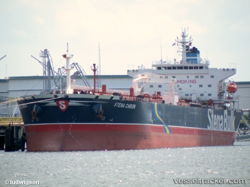
 MADI
MADI
Current Status
Where is the vessel?
MADI is currently in Near TANJUNG PELEPAS, based on AIS data received about 1h ago.
Latest AIS update:
Current position: 1.24542° N, 103.56543° E (Near TANJUNG PELEPAS)
Average speed (last 7 days): Loading…
Average speed (last 30 days): Loading…
Vessel profile: MADI is a Crude Oil Tanker with dimensions m x m.
This page combines live AIS, route history, probable destination signals, nearby traffic, and port activity for practical vessel monitoring.
The current position of vessel MADI is 1.24542 lat / 103.56543 lng. Updated: 2026-05-16 10:24:59 UTCNearest reference points:
- Near Nipah
- Near Tuas
- Near JURONG ISLAND
Currently sailing under the flag of Barbados ![]()
Details:
Live Vessel MADI Analytics (details, animations, etc.)
Recent AIS points (UTC):
2026-05-16 07:44:29 UTC · 1.24323, 103.56672 · SOG 0 kn · COG 34°2026-05-16 07:48:30 UTC · 1.24320, 103.56680 · SOG 0.2 kn · COG 37°
2026-05-16 10:14:57 UTC · 1.24487, 103.56553 · SOG 0.1 kn · COG 77°
2026-05-16 10:24:59 UTC · 1.24542, 103.56543 · SOG 0.1 kn · COG 92°