 vesseltracker.com
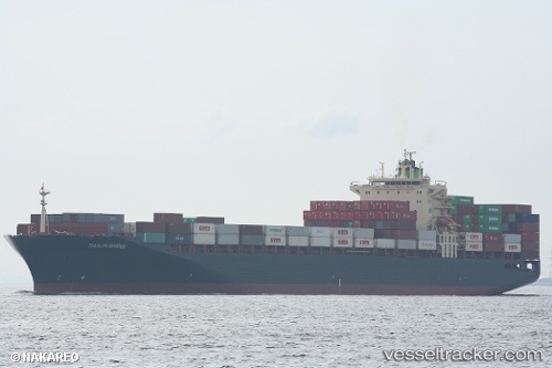
 TIANJIN BRIDGE
Current Status
Where is the vessel?
TIANJIN BRIDGE is currently in 17 nm E of Wan Tsai, based on AIS data received about 1h ago.
Latest AIS update:
Current position: 22.12497° N, 114.55628° E (17 nm E of Wan Tsai)
Average speed (last 7 days): Loading…
Average speed (last 30 days): Loading…
Vessel profile: TIANJIN BRIDGE is a Cargo with dimensions m x m.
This page combines live AIS, route history, probable destination signals, nearby traffic, and port activity for practical vessel monitoring.
The current position of vessel TIANJIN BRIDGE is 22.12497 lat / 114.55628 lng. Updated: 2026-05-14 20:16:23 UTCNearest reference points:
- 22 nm E of Wan Tsai
- 25 nm SE of Wan Tsai
- 13 nm E of Wong Chuk Hang
Currently sailing under the flag of South Korea ![]()
Details:
Live Vessel TIANJIN BRIDGE Analytics (details, animations, etc.)
Recent AIS points (UTC):
2026-05-14 17:01:15 UTC · 22.11456, 115.24340 · SOG 11.5 kn · COG 269°2026-05-14 18:15:15 UTC · 22.11810, 114.98142 · SOG 12 kn · COG 271°
2026-05-14 19:17:45 UTC · 22.12220, 114.76310 · SOG 11.7 kn · COG 271°
2026-05-14 20:16:23 UTC · 22.12497, 114.55628 · SOG 12.1 kn · COG 270°