 vesseltracker.com
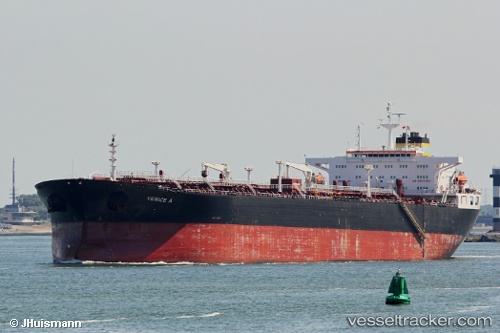
 FINA A
Current Status
Where is the vessel?
FINA A is currently in 34 nm SW of Positra, based on AIS data received about 1h ago.
Latest AIS update:
Current position: 22.02315° N, 68.70711° E (34 nm SW of Positra)
Average speed (last 7 days): Loading…
Average speed (last 30 days): Loading…
Vessel profile: FINA A is a Crude Oil Tanker with dimensions m x m.
This page combines live AIS, route history, probable destination signals, nearby traffic, and port activity for practical vessel monitoring.
The current position of vessel FINA A is 22.02315 lat / 68.70711 lng. Updated: 2026-05-17 19:37:13 UTCNearest reference points:
- 49 nm S of Positra
- 54 nm S of Positra
- 13 nm W of Måndvi
Currently sailing under the flag of Equatorial Guinea ![]()
Details:
Live Vessel FINA A Analytics (details, animations, etc.)
Recent AIS points (UTC):
2026-05-17 17:10:01 UTC · 21.83523, 68.23086 · SOG 12 kn · COG 77°2026-05-17 18:17:13 UTC · 21.89376, 68.46129 · SOG 11.5 kn · COG 58°
2026-05-17 19:21:42 UTC · 21.99894, 68.65949 · SOG 11.7 kn · COG 58°
2026-05-17 19:37:13 UTC · 22.02315, 68.70711 · SOG 11.6 kn · COG 58°