 vesseltracker.com
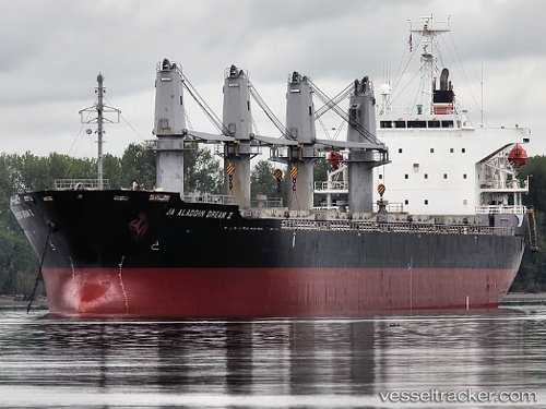
 DREAM
DREAM
Current Status
Where is the vessel?
DREAM is currently in Near Saraylar, based on AIS data received less than 1h ago.
Latest AIS update:
Current position: 40.74821° N, 27.59910° E (Near Saraylar)
Average speed (last 7 days): Loading…
Average speed (last 30 days): Loading…
Vessel profile: DREAM is a Bulk Carrier with dimensions m x m.
This page combines live AIS, route history, probable destination signals, nearby traffic, and port activity for practical vessel monitoring.
The current position of vessel DREAM is 40.74821 lat / 27.59910 lng. Updated: 2026-05-14 10:06:13 UTCNearest reference points:
- Near Saraylar
- Near TEKIRDAG
- Near Marmara Adasi
Currently sailing under the flag of Saint Kitts and Nevis ![]()
Details:
Live Vessel DREAM Analytics (details, animations, etc.)
Recent AIS points (UTC):
2026-05-14 07:22:52 UTC · 40.84219, 28.26351 · SOG 10.7 kn · COG 261°2026-05-14 07:25:42 UTC · 40.84097, 28.25244 · SOG 10.8 kn · COG 259°
2026-05-14 09:36:43 UTC · 40.77996, 27.71546 · SOG 11.6 kn · COG 259°
2026-05-14 10:06:13 UTC · 40.74821, 27.59910 · SOG 11.5 kn · COG 244°