 vesseltracker.com
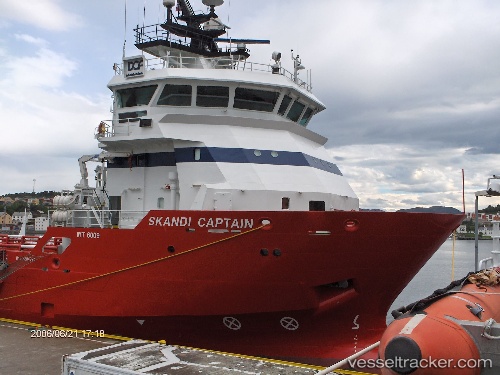
 OCEANICASUB XVIII
Current Status
Where is the vessel?
OCEANICASUB XVIII is currently in Near NITEROI, based on AIS data received about 2h ago.
Latest AIS update:
Current position: 22.82484° S, 43.09144° W (Near NITEROI)
Average speed (last 7 days): Loading…
Average speed (last 30 days): Loading…
Vessel profile: OCEANICASUB XVIII is a Offshore Supply Ship with dimensions m x m.
This page combines live AIS, route history, probable destination signals, nearby traffic, and port activity for practical vessel monitoring.
The current position of vessel OCEANICASUB XVIII is -22.82484 lat / -43.09144 lng. Updated: 2026-05-14 23:49:55 UTCNearest reference points:
- Near NITEROI
- Near Rio De Janeiro
- Near Santos Dumont Apt/Rio de Janeiro
Currently sailing under the flag of United Kingdom ![]()
Details:
Live Vessel OCEANICASUB XVIII Analytics (details, animations, etc.)
Recent AIS points (UTC):
2026-05-14 19:44:33 UTC · -22.82500, -43.09167 · SOG 0 kn · COG -1°2026-05-14 21:38:51 UTC · -22.82500, -43.09167 · SOG 0 kn · COG -1°
2026-05-14 22:26:57 UTC · -22.82500, -43.09167 · SOG 0 kn · COG -1°
2026-05-14 23:49:55 UTC · -22.82484, -43.09144 · SOG 0 kn · COG 319°