 vesseltracker.com
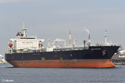
 SLED
SLED
Current Status
Where is the vessel?
SLED is currently in 121 nm N of Fernando De Noronha, based on AIS data received about 1h ago.
Latest AIS update:
Current position: 1.82167° S, 32.57833° W (121 nm N of Fernando De Noronha)
Average speed (last 7 days): Loading…
Average speed (last 30 days): Loading…
Vessel profile: SLED is a Crude Oil Tanker with dimensions m x m.
This page combines live AIS, route history, probable destination signals, nearby traffic, and port activity for practical vessel monitoring.
The current position of vessel SLED is -1.82167 lat / -32.57833 lng. Updated: 2026-04-23 14:09:31 UTCCurrently sailing under the flag of Bahamas ![]()
Details:
Live Vessel SLED Analytics (details, animations, etc.)
Recent AIS points (UTC):
2026-04-23 11:01:44 UTC · -1.15743, -32.35244 · SOG 13.2 kn · COG 199°2026-04-23 11:51:32 UTC · -1.33500, -32.41000 · SOG 13 kn · COG -1°
2026-04-23 13:03:44 UTC · -1.58888, -32.50033 · SOG 13.3 kn · COG 199°
2026-04-23 14:09:31 UTC · -1.82167, -32.57833 · SOG 13 kn · COG -1°