 vesseltracker.com
 PRIMA LAUTAN II
Current Status
Where is the vessel?
PRIMA LAUTAN II is currently in Near Kalbut Situbondo, based on AIS data received about 13h ago.
Latest AIS update:
Current position: 7.59906° S, 113.96821° E (Near Kalbut Situbondo)
Average speed (last 7 days): Loading…
Average speed (last 30 days): Loading…
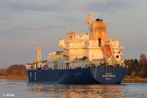
Vessel profile: PRIMA LAUTAN II is a LPG Tanker with dimensions 26m x 164m.
This page combines live AIS, route history, probable destination signals, nearby traffic, and port activity for practical vessel monitoring.
The current position of vessel PRIMA LAUTAN II is -7.59906 lat / 113.96821 lng. Updated: 2026-05-14 10:08:40 UTCNearest reference points:
- 30 nm NW of Sumenep
- Near Tanjung Perak
- Near Tanjong Perak
Currently sailing under the flag of Indonesia ![]()
PRIMA LAUTAN II built in 2004 year
Deadweight:
17298 tDetails:
Live Vessel PRIMA LAUTAN II Analytics (details, animations, etc.)
Recent AIS points (UTC):
2026-05-14 10:08:40 UTC · -7.59906, 113.96821 · SOG 0.4 kn · COG 56°2026-05-14 10:08:40 UTC · -7.59906, 113.96821 · SOG 0.4 kn · COG 56°
2026-05-14 10:08:40 UTC · -7.59906, 113.96821 · SOG 0.4 kn · COG 56°
2026-05-14 10:08:40 UTC · -7.59906, 113.96821 · SOG 0.4 kn · COG 56°