 vesseltracker.com
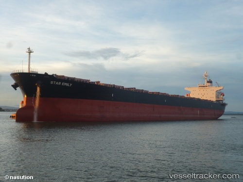
Star Emily
Current StatusWhere is the vessel?
Star Emily is currently in 42 nm SE of Tinaquillo, based on AIS data received less than 1h ago.
Latest AIS update:
Current position: 9.42712° N, 68.80219° E (42 nm SE of Tinaquillo)
Average speed (last 7 days): Loading…
Average speed (last 30 days): Loading…
Vessel profile: Star Emily is a Bulk Carrier with dimensions 32m x 224m.
This page combines live AIS, route history, probable destination signals, nearby traffic, and port activity for practical vessel monitoring.
The current position of vessel Star Emily is 9.42712 lat / 68.80219 lng. Updated: 2026-05-15 23:31:28 UTCNearest reference points:
- 98 nm S of Tinaquillo
- 119 nm SE of Tinaquillo
- 130 nm W of Lakshadweep
Details:
Live Vessel Star Emily Analytics (details, animations, etc.)
Recent AIS points (UTC):
2026-05-15 20:25:46 UTC · 9.23724, 69.35602 · SOG 11.2 kn · COG 292°2026-05-15 20:55:55 UTC · 9.26747, 69.26681 · SOG 11.1 kn · COG 293°
2026-05-15 22:02:36 UTC · 9.34017, 69.06990 · SOG 11.1 kn · COG 297°
2026-05-15 23:31:28 UTC · 9.42712, 68.80219 · SOG 11.4 kn · COG 286°