 vesseltracker.com
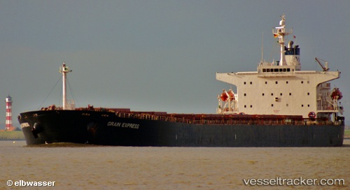
Star Iris
Current StatusWhere is the vessel?
Star Iris is currently in 28 nm SW of Mesta Hiou, based on AIS data received less than 1h ago.
Latest AIS update:
Current position: 37.91370° N, 25.56385° E (28 nm SW of Mesta Hiou)
Average speed (last 7 days): Loading…
Average speed (last 30 days): Loading…
Vessel profile: Star Iris is a Bulk Carrier with dimensions 32m x 225m.
This page combines live AIS, route history, probable destination signals, nearby traffic, and port activity for practical vessel monitoring.
The current position of vessel Star Iris is 37.91370 lat / 25.56385 lng. Updated: 2026-05-15 17:06:06 UTCNearest reference points:
- 13 nm NW of Karkinagri Ikarias
- Near MYKONOS OLD PORT
- Near Delos
Details:
Live Vessel Star Iris Analytics (details, animations, etc.)
Recent AIS points (UTC):
2026-05-15 13:40:27 UTC · 38.46138, 25.19351 · SOG 11 kn · COG 150°2026-05-15 14:00:57 UTC · 38.40728, 25.23441 · SOG 11 kn · COG 153°
2026-05-15 16:10:55 UTC · 38.06201, 25.46400 · SOG 10.7 kn · COG 156°
2026-05-15 17:06:06 UTC · 37.91370, 25.56385 · SOG 11.1 kn · COG 151°