 vesseltracker.com
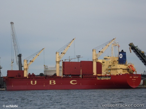
 LINDEN
Current Status
Where is the vessel?
LINDEN is currently in 27 nm SW of Okha, based on AIS data received less than 1h ago.
Latest AIS update:
Current position: 22.27660° N, 68.65400° E (27 nm SW of Okha)
Average speed (last 7 days): Loading…
Average speed (last 30 days): Loading…
Vessel profile: LINDEN is a General Cargo with dimensions m x m.
This page combines live AIS, route history, probable destination signals, nearby traffic, and port activity for practical vessel monitoring.
The current position of vessel LINDEN is 22.27660 lat / 68.65400 lng. Updated: 2026-04-26 04:12:49 UTCNearest reference points:
- 13 nm W of Måndvi
- 49 nm S of Positra
- 54 nm S of Positra
Currently sailing under the flag of Panama ![]()
Details:
Live Vessel LINDEN Analytics (details, animations, etc.)
Recent AIS points (UTC):
2026-04-26 00:12:48 UTC · 22.27737, 68.65407 · SOG 0.1 kn · COG 257°2026-04-26 01:54:55 UTC · 22.27751, 68.65400 · SOG 0.1 kn · COG 248°
2026-04-26 02:36:54 UTC · 22.27746, 68.65392 · SOG 0.1 kn · COG 248°
2026-04-26 04:12:49 UTC · 22.27660, 68.65400 · SOG 0 kn · COG 283°