 vesseltracker.com
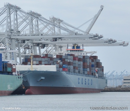
 MSC YOKOHAMA
Current Status
Where is the vessel?
MSC YOKOHAMA is currently in 54 nm SW of Nagercoil, based on AIS data received about 1h ago.
Latest AIS update:
Current position: 7.38158° N, 76.98178° E (54 nm SW of Nagercoil)
Average speed (last 7 days): Loading…
Average speed (last 30 days): Loading…
Vessel profile: MSC YOKOHAMA is a Container Ship with dimensions 299m x 43m.
This page combines live AIS, route history, probable destination signals, nearby traffic, and port activity for practical vessel monitoring.
The current position of vessel MSC YOKOHAMA is 7.38158 lat / 76.98178 lng. Updated: 2026-05-02 19:44:39 UTCNearest reference points:
- 41 nm S of Nagercoil
- 91 nm S of Nagercoil
- 98 nm S of Nagercoil
Currently sailing under the flag of Liberia ![]()
MSC YOKOHAMA built in 2007 year
Deadweight:
93659 tDetails:
Live Vessel MSC YOKOHAMA Analytics (details, animations, etc.)
Recent AIS points (UTC):
2026-05-02 16:09:39 UTC · 7.00480, 77.74927 · SOG 14.2 kn · COG 301°2026-05-02 18:23:52 UTC · 7.26724, 77.28439 · SOG 14.3 kn · COG 291°
2026-05-02 19:06:03 UTC · 7.31692, 77.12112 · SOG 14.3 kn · COG 290°
2026-05-02 19:44:39 UTC · 7.38158, 76.98178 · SOG 14.5 kn · COG 320°