 vesseltracker.com
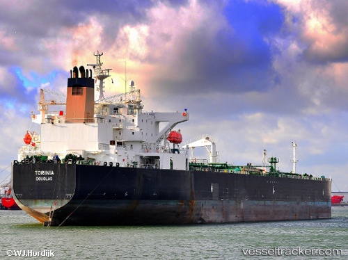
 SIRIUS1
Current Status
Where is the vessel?
SIRIUS1 is currently in Near Ra’S Shukhayr, based on AIS data received less than 1h ago.
Latest AIS update:
Current position: 28.09818° N, 33.44071° E (Near Ra’S Shukhayr)
Average speed (last 7 days): Loading…
Average speed (last 30 days): Loading…
Vessel profile: SIRIUS1 is a Oil Products Tanker with dimensions m x m.
This page combines live AIS, route history, probable destination signals, nearby traffic, and port activity for practical vessel monitoring.
The current position of vessel SIRIUS1 is 28.09818 lat / 33.44071 lng. Updated: 2026-05-14 05:27:38 UTCNearest reference points:
- Near Ras Gharib
- 19 nm SE of Zeit Bay
- Near El-Guna (El Gouna)
Currently sailing under the flag of Mali ![]()
Details:
Live Vessel SIRIUS1 Analytics (details, animations, etc.)
Recent AIS points (UTC):
2026-05-14 02:06:48 UTC · 27.62190, 34.00259 · SOG 12.3 kn · COG 309°2026-05-14 03:23:52 UTC · 27.80460, 33.78653 · SOG 12.4 kn · COG 321°
2026-05-14 04:57:39 UTC · 28.02758, 33.52298 · SOG 12.3 kn · COG 314°
2026-05-14 05:27:38 UTC · 28.09818, 33.44071 · SOG 12 kn · COG 314°