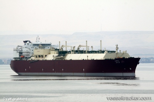
Lusail
Current StatusWhere is the vessel?
Lusail is currently in 81 nm N of Amini Island, based on AIS data received about 15h ago.
Latest AIS update:
Current position: 12.41833° N, 72.36833° E (81 nm N of Amini Island)
Average speed (last 7 days): Loading…
Average speed (last 30 days): Loading…
Vessel profile: Lusail is a Lng Tanker with dimensions 44m x 284m.
This page combines live AIS, route history, probable destination signals, nearby traffic, and port activity for practical vessel monitoring.
The current position of vessel Lusail is 12.41833 lat / 72.36833 lng. Updated: 2026-05-23 19:41:03 UTCNearest reference points:
- 57 nm NW of New Mangalore
- 13 nm NW of Lakshadweep
- 17 nm NW of Panamburu
Details:
Live Vessel Lusail Analytics (details, animations, etc.)
Recent AIS points (UTC):
2026-05-23 16:23:50 UTC · 11.82565, 73.04381 · SOG 16 kn · COG 310°2026-05-23 17:55:10 UTC · 12.09577, 72.73004 · SOG 16.1 kn · COG 312°
2026-05-23 19:17:05 UTC · 12.34833, 72.45333 · SOG 16 kn · COG -1°
2026-05-23 19:41:03 UTC · 12.41833, 72.36833 · SOG 16 kn · COG -1°