 vesseltracker.com
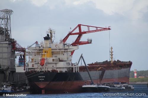
 HORIZON HOPE
Current Status
Where is the vessel?
HORIZON HOPE is currently in 175 nm SW of Saint-Pierre, based on AIS data received less than 1h ago.
Latest AIS update:
Current position: 23.90333° S, 53.98000° E (175 nm SW of Saint-Pierre)
Average speed (last 7 days): Loading…
Average speed (last 30 days): Loading…
Vessel profile: HORIZON HOPE is a Bulk Carrier with dimensions m x m.
This page combines live AIS, route history, probable destination signals, nearby traffic, and port activity for practical vessel monitoring.
The current position of vessel HORIZON HOPE is -23.90333 lat / 53.98000 lng. Updated: 2026-05-16 02:32:27 UTCNearest reference points:
- 129 nm W of Al Azaiba
- 209 nm E of Manakara
- 271 nm E of Fort Dauphin
Currently sailing under the flag of Panama ![]()
Details:
Live Vessel HORIZON HOPE Analytics (details, animations, etc.)
Recent AIS points (UTC):
2026-05-15 21:57:51 UTC · -24.29167, 53.28667 · SOG 9 kn · COG -1°2026-05-16 00:10:39 UTC · -24.10167, 53.62167 · SOG 10 kn · COG -1°
2026-05-16 01:10:59 UTC · -24.01500, 53.77500 · SOG 9 kn · COG -1°
2026-05-16 02:32:27 UTC · -23.90333, 53.98000 · SOG 10 kn · COG -1°