 vesseltracker.com
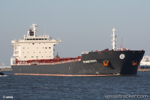
Wooyang Banders
Current StatusWhere is the vessel?
Wooyang Banders is currently in Near DAESAN, based on AIS data received less than 1h ago.
Latest AIS update:
Current position: 37.13860° N, 126.52408° E (Near DAESAN)
Average speed (last 7 days): Loading…
Average speed (last 30 days): Loading…
Vessel profile: Wooyang Banders is a Bulk Carrier with dimensions 32m x 228m.
This page combines live AIS, route history, probable destination signals, nearby traffic, and port activity for practical vessel monitoring.
The current position of vessel Wooyang Banders is 37.13860 lat / 126.52408 lng. Updated: 2026-05-16 09:29:01 UTCNearest reference points:
- 10 nm N of DAESAN
- Near DAESAN
- 14 nm SW of Incheon
Details:
Live Vessel Wooyang Banders Analytics (details, animations, etc.)
Recent AIS points (UTC):
2026-05-16 05:39:55 UTC · 36.99455, 126.71520 · SOG 0 kn · COG 300°2026-05-16 07:09:03 UTC · 36.99455, 126.71520 · SOG 0 kn · COG 300°
2026-05-16 07:39:06 UTC · 36.99455, 126.71518 · SOG 0 kn · COG 300°
2026-05-16 09:29:01 UTC · 37.13860, 126.52408 · SOG 13.3 kn · COG 281°