 vesseltracker.com
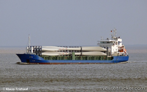
 LUCA
LUCA
Current Status
Where is the vessel?
LUCA is currently in 13 nm S of Mõntu, based on AIS data received less than 1h ago.
Latest AIS update:
Current position: 57.74083° N, 22.18353° E (13 nm S of Mõntu)
Average speed (last 7 days): Loading…
Average speed (last 30 days): Loading…
Vessel profile: LUCA is a General Cargo Ship with dimensions 101m x 180m.
This page combines live AIS, route history, probable destination signals, nearby traffic, and port activity for practical vessel monitoring.
The current position of vessel LUCA is 57.74083 lat / 22.18353 lng. Updated: 2026-05-15 01:00:54 UTCNearest reference points:
- 18 nm N of Ventspils
- 11 nm N of Ventspils
- Near Ventspils
Currently sailing under the flag of Antigua and Barbuda ![]()
LUCA built in 2004 year
Deadweight:
4815 tDetails:
Live Vessel LUCA Analytics (details, animations, etc.)
Recent AIS points (UTC):
2026-05-14 21:38:03 UTC · 57.92881, 23.31647 · SOG 11.4 kn · COG 260°2026-05-14 22:45:24 UTC · 57.88824, 22.92835 · SOG 11.2 kn · COG 259°
2026-05-15 00:02:34 UTC · 57.82555, 22.48503 · SOG 11.4 kn · COG 250°
2026-05-15 01:00:54 UTC · 57.74083, 22.18353 · SOG 11.1 kn · COG 248°