 vesseltracker.com
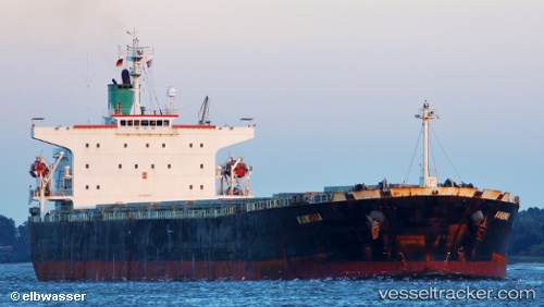
 Bellamys
Current Status
Where is the vessel?
Bellamys is currently in 140 nm S of Seogwipo, based on AIS data received about 8h ago.
Latest AIS update:
Current position: 30.90749° N, 126.62183° E (140 nm S of Seogwipo)
Average speed (last 7 days): Loading…
Average speed (last 30 days): Loading…
Vessel profile: Bellamys is a Bulk Carrier with dimensions 224m x 32m.
This page combines live AIS, route history, probable destination signals, nearby traffic, and port activity for practical vessel monitoring.
The current position of vessel Bellamys is 30.90749 lat / 126.62183 lng. Updated: 2026-04-28 04:21:17 UTCNearest reference points:
- 144 nm S of Hwasun
- 163 nm S of Seogwipo
- 143 nm S of Seogwipo
Currently sailing under the flag of Liberia ![]()
Bellamys built in 2005 year
Deadweight:
76286 tDetails:
Live Vessel Bellamys Analytics (details, animations, etc.)
Recent AIS points (UTC):
2026-04-28 04:21:17 UTC · 30.90749, 126.62183 · SOG 11.3 kn · COG 212°2026-04-28 04:21:17 UTC · 30.90749, 126.62183 · SOG 11.3 kn · COG 212°
2026-04-28 04:21:17 UTC · 30.90749, 126.62183 · SOG 11.3 kn · COG 212°
2026-04-28 04:21:17 UTC · 30.90749, 126.62183 · SOG 11.3 kn · COG 212°