 vesseltracker.com
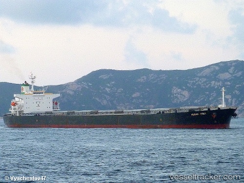
Melia
Current StatusWhere is the vessel?
Melia is currently in 56 nm SE of Port Saint John's, based on AIS data received less than 1h ago.
Latest AIS update:
Current position: 32.33510° S, 30.25754° E (56 nm SE of Port Saint John's)
Average speed (last 7 days): Loading…
Average speed (last 30 days): Loading…
Vessel profile: Melia is a Bulk Carrier with dimensions 32m x 225m.
This page combines live AIS, route history, probable destination signals, nearby traffic, and port activity for practical vessel monitoring.
The current position of vessel Melia is -32.33510 lat / 30.25754 lng. Updated: 2026-05-12 19:53:53 UTCNearest reference points:
- 23 nm E of Port Saint John's
- 125 nm SE of Port Edward
- Near Island View
Details:
Live Vessel Melia Analytics (details, animations, etc.)
Recent AIS points (UTC):
2026-05-12 16:27:14 UTC · -32.58962, 29.71416 · SOG 8.8 kn · COG 64°2026-05-12 17:42:17 UTC · -32.50057, 29.90756 · SOG 9.4 kn · COG 62°
2026-05-12 19:41:12 UTC · -32.34928, 30.22197 · SOG 9.3 kn · COG 69°
2026-05-12 19:53:53 UTC · -32.33510, 30.25754 · SOG 9.5 kn · COG 67°