 vesseltracker.com
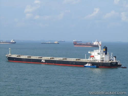
Capetan Giorgis
Current StatusWhere is the vessel?
Capetan Giorgis is currently in Near Astoria, based on AIS data received less than 1h ago.
Latest AIS update:
Current position: 46.20664° N, 123.80422° W (Near Astoria)
Average speed (last 7 days): Loading…
Average speed (last 30 days): Loading…
Vessel profile: Capetan Giorgis is a Bulk Carrier with dimensions 32m x 225m.
This page combines live AIS, route history, probable destination signals, nearby traffic, and port activity for practical vessel monitoring.
The current position of vessel Capetan Giorgis is 46.20664 lat / -123.80422 lng. Updated: 2026-05-15 21:26:32 UTCNearest reference points:
- Near Astoria
- Near WARRENTON
- Near Grays River
Details:
Live Vessel Capetan Giorgis Analytics (details, animations, etc.)
Recent AIS points (UTC):
2026-05-15 18:08:30 UTC · 46.20616, -123.80353 · SOG 0 kn · COG 251°2026-05-15 19:47:28 UTC · 46.20627, -123.80372 · SOG 0 kn · COG 250°
2026-05-15 20:05:31 UTC · 46.20639, -123.80377 · SOG 0 kn · COG 245°
2026-05-15 21:26:32 UTC · 46.20664, -123.80422 · SOG 0.2 kn · COG 240°