 vesseltracker.com
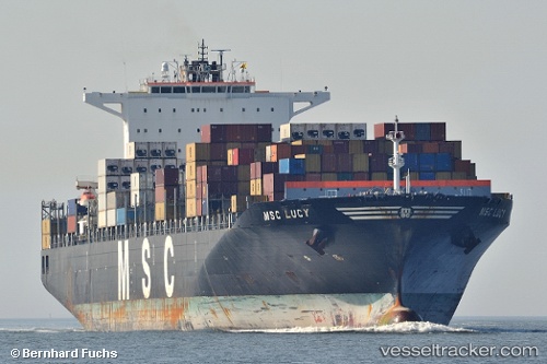
Msc Lucy
Current StatusWhere is the vessel?
Msc Lucy is currently in 98 nm S of Southampton, based on AIS data received less than 1h ago.
Latest AIS update:
Current position: 30.68982° N, 64.26962° W (98 nm S of Southampton)
Average speed (last 7 days): Loading…
Average speed (last 30 days): Loading…
Vessel profile: Msc Lucy is a Container Ship with dimensions 43m x 325m.
This page combines live AIS, route history, probable destination signals, nearby traffic, and port activity for practical vessel monitoring.
The current position of vessel Msc Lucy is 30.68982 lat / -64.26962 lng. Updated: 2026-05-15 12:02:06 UTCDetails:
Live Vessel Msc Lucy Analytics (details, animations, etc.)
Recent AIS points (UTC):
2026-05-15 07:54:41 UTC · 30.24596, -65.59962 · SOG 18.2 kn · COG 71°2026-05-15 09:51:22 UTC · 30.46510, -64.97155 · SOG 18.1 kn · COG 72°
2026-05-15 10:18:35 UTC · 30.51495, -64.82373 · SOG 17.9 kn · COG 73°
2026-05-15 12:02:06 UTC · 30.68982, -64.26962 · SOG 17.4 kn · COG 75°