 vesseltracker.com
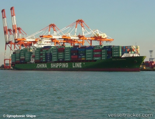
 EMMANUEL P
Current Status
Where is the vessel?
EMMANUEL P is currently in 87 nm SE of Honghai, based on AIS data received less than 1h ago.
Latest AIS update:
Current position: 18.94667° N, 112.36333° E (87 nm SE of Honghai)
Average speed (last 7 days): Loading…
Average speed (last 30 days): Loading…
Vessel profile: EMMANUEL P is a Container Ship with dimensions 260m x 32m.
This page combines live AIS, route history, probable destination signals, nearby traffic, and port activity for practical vessel monitoring.
The current position of vessel EMMANUEL P is 18.94667 lat / 112.36333 lng. Updated: 2026-05-14 13:20:09 UTCNearest reference points:
- 123 nm S of Shadi
- 37 nm SE of Houan
- Near Honghai
Currently sailing under the flag of Marshall Islands ![]()
EMMANUEL P built in 2005 year
Deadweight:
50796 tDetails:
Live Vessel EMMANUEL P Analytics (details, animations, etc.)
Recent AIS points (UTC):
2026-05-14 09:11:13 UTC · 19.81833, 113.05500 · SOG 15 kn · COG -1°2026-05-14 10:06:06 UTC · 19.62217, 112.91171 · SOG 15.7 kn · COG 216°
2026-05-14 12:02:08 UTC · 19.21167, 112.59333 · SOG 15 kn · COG -1°
2026-05-14 13:20:09 UTC · 18.94667, 112.36333 · SOG 15 kn · COG -1°