 vesseltracker.com
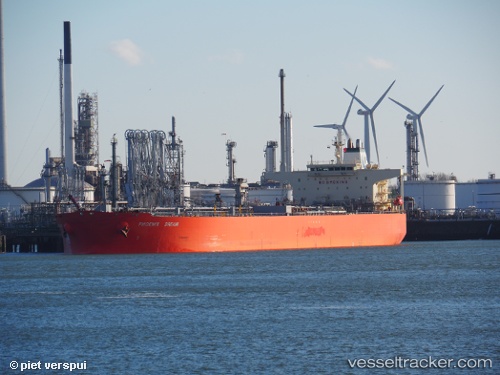
 Bryanston
Current Status
Where is the vessel?
Bryanston is currently in Near Bonny, based on AIS data received about 1h ago.
Latest AIS update:
Current position: 4.44908° N, 7.15658° E (Near Bonny)
Average speed (last 7 days): Loading…
Average speed (last 30 days): Loading…
Vessel profile: Bryanston is a Crude Oil Tanker with dimensions 244m x 42m.
This page combines live AIS, route history, probable destination signals, nearby traffic, and port activity for practical vessel monitoring.
The current position of vessel Bryanston is 4.44908 lat / 7.15658 lng. Updated: 2026-05-15 15:31:41 UTCNearest reference points:
- Near Bonny
- Near Onne
- Near Ima
Currently sailing under the flag of Marshall Is ![]()
Bryanston built in 2005 year
Deadweight:
105784 tDetails:
Live Vessel Bryanston Analytics (details, animations, etc.)
Recent AIS points (UTC):
2026-05-15 11:43:34 UTC · 4.44944, 7.15631 · SOG 0 kn · COG 219°2026-05-15 13:07:37 UTC · 4.44946, 7.15636 · SOG 0 kn · COG 214°
2026-05-15 13:28:56 UTC · 4.44936, 7.15646 · SOG 0 kn · COG 217°
2026-05-15 15:31:41 UTC · 4.44908, 7.15658 · SOG 0 kn · COG 235°