 vesseltracker.com
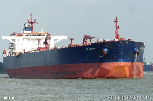
 KAI 1
KAI 1
Current Status
Where is the vessel?
KAI 1 is currently in 70 nm SE of Kárpathos, based on AIS data received less than 1h ago.
Latest AIS update:
Current position: 34.90818° N, 28.46258° E (70 nm SE of Kárpathos)
Average speed (last 7 days): Loading…
Average speed (last 30 days): Loading…
Vessel profile: KAI 1 is a Crude Oil Tanker with dimensions m x m.
This page combines live AIS, route history, probable destination signals, nearby traffic, and port activity for practical vessel monitoring.
The current position of vessel KAI 1 is 34.90818 lat / 28.46258 lng. Updated: 2026-05-01 20:02:26 UTCNearest reference points:
- 108 nm S of Kastellorizou (ex Megísti)
- Near Rhodes
- 18 nm E of Rhodes
Currently sailing under the flag of Panama ![]()
Details:
Live Vessel KAI 1 Analytics (details, animations, etc.)
Recent AIS points (UTC):
2026-05-01 16:10:37 UTC · 35.51457, 27.79868 · SOG 12.8 kn · COG 132°2026-05-01 17:33:57 UTC · 35.29230, 28.04062 · SOG 12.7 kn · COG 137°
2026-05-01 19:08:17 UTC · 35.04613, 28.31043 · SOG 12.4 kn · COG 137°
2026-05-01 20:02:26 UTC · 34.90818, 28.46258 · SOG 12.4 kn · COG 141°