 vesseltracker.com
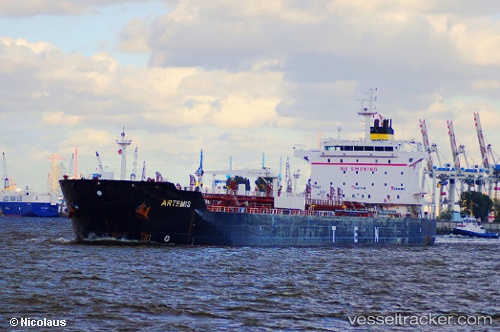
 CLOVIS
Current Status
Where is the vessel?
CLOVIS is currently in 58 nm N of Milobadz, based on AIS data received about 1h ago.
Latest AIS update:
Current position: 56.10318° N, 18.25460° E (58 nm N of Milobadz)
Average speed (last 7 days): Loading…
Average speed (last 30 days): Loading…
Vessel profile: CLOVIS is a Oil/Chemical Tanker with dimensions m x m.
This page combines live AIS, route history, probable destination signals, nearby traffic, and port activity for practical vessel monitoring.
The current position of vessel CLOVIS is 56.10318 lat / 18.25460 lng. Updated: 2026-05-16 05:26:53 UTCNearest reference points:
- Near WLADYSLAWOWO
- Near Gdynia
- Near Sopot
Currently sailing under the flag of Barbados ![]()
Details:
Live Vessel CLOVIS Analytics (details, animations, etc.)
Recent AIS points (UTC):
2026-05-16 01:50:41 UTC · 55.80686, 16.88384 · SOG 13.9 kn · COG 80°2026-05-16 03:22:38 UTC · 55.88656, 17.50179 · SOG 13.9 kn · COG 78°
2026-05-16 04:03:07 UTC · 55.93663, 17.76299 · SOG 13.9 kn · COG 62°
2026-05-16 05:26:53 UTC · 56.10318, 18.25460 · SOG 13.8 kn · COG 59°