 vesseltracker.com
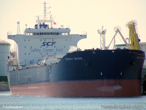
 NERO
NERO
Current Status
Where is the vessel?
NERO is currently in Near PENGERANG, based on AIS data received less than 1h ago.
Latest AIS update:
Current position: 1.32090° N, 104.27910° E (Near PENGERANG)
Average speed (last 7 days): Loading…
Average speed (last 30 days): Loading…
Vessel profile: NERO is a Oil Products Tanker with dimensions m x m.
This page combines live AIS, route history, probable destination signals, nearby traffic, and port activity for practical vessel monitoring.
The current position of vessel NERO is 1.32090 lat / 104.27910 lng. Updated: 2026-05-16 13:39:32 UTCNearest reference points:
- Near PENGERANG
- Near Tanjung Setapa
- Near TANAH MERAH
Currently sailing under the flag of Cameroon ![]()
Details:
Live Vessel NERO Analytics (details, animations, etc.)
Recent AIS points (UTC):
2026-05-16 10:17:31 UTC · 1.15430, 103.79850 · SOG 10 kn · COG 63°2026-05-16 10:29:01 UTC · 1.17040, 103.82850 · SOG 10.3 kn · COG 63°
2026-05-16 12:24:01 UTC · 1.25160, 104.15610 · SOG 10.1 kn · COG 84°
2026-05-16 13:39:32 UTC · 1.32090, 104.27910 · SOG 5.1 kn · COG 30°