 vesseltracker.com
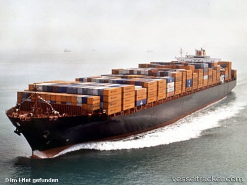
 OYKU A
Current Status
Where is the vessel?
OYKU A is currently in Near Kéa (Tzia), based on AIS data received about 1h ago.
Latest AIS update:
Current position: 37.53156° N, 24.37085° E (Near Kéa (Tzia))
Average speed (last 7 days): Loading…
Average speed (last 30 days): Loading…
Vessel profile: OYKU A is a Container Ship with dimensions m x m.
This page combines live AIS, route history, probable destination signals, nearby traffic, and port activity for practical vessel monitoring.
The current position of vessel OYKU A is 37.53156 lat / 24.37085 lng. Updated: 2026-05-14 21:35:44 UTCNearest reference points:
- Near Kéa (Tzia)
- Near LAVRIO
- Near LAVRIO MARINA
Currently sailing under the flag of Turkey ![]()
Details:
Live Vessel OYKU A Analytics (details, animations, etc.)
Recent AIS points (UTC):
2026-05-14 18:23:23 UTC · 38.11431, 24.71517 · SOG 12.2 kn · COG 205°2026-05-14 19:41:23 UTC · 37.87056, 24.57695 · SOG 12.1 kn · COG 195°
2026-05-14 19:49:03 UTC · 37.84557, 24.56847 · SOG 12 kn · COG 195°
2026-05-14 21:35:44 UTC · 37.53156, 24.37085 · SOG 12.2 kn · COG 218°