 vesseltracker.com
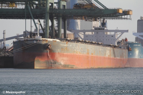
Aquagenie
Current StatusWhere is the vessel?
Aquagenie is currently in 267 nm SW of LHOKNGA, based on AIS data received about 1h ago.
Latest AIS update:
Current position: 3.64130° N, 91.17042° E (267 nm SW of LHOKNGA)
Average speed (last 7 days): Loading…
Average speed (last 30 days): Loading…
Vessel profile: Aquagenie is a Bulk Carrier with dimensions 44m x 288m.
This page combines live AIS, route history, probable destination signals, nearby traffic, and port activity for practical vessel monitoring.
The current position of vessel Aquagenie is 3.64130 lat / 91.17042 lng. Updated: 2026-05-15 17:10:50 UTCNearest reference points:
- 172 nm W of LHOKNGA
- 243 nm E of Abakaliki
Details:
Live Vessel Aquagenie Analytics (details, animations, etc.)
Recent AIS points (UTC):
2026-05-15 13:30:43 UTC · 3.99168, 91.70053 · SOG 10.1 kn · COG 242°2026-05-15 15:26:40 UTC · 3.80982, 91.42137 · SOG 10.2 kn · COG 242°
2026-05-15 15:26:40 UTC · 3.80982, 91.42137 · SOG 10.2 kn · COG 242°
2026-05-15 17:10:50 UTC · 3.64130, 91.17042 · SOG 10.3 kn · COG 241°