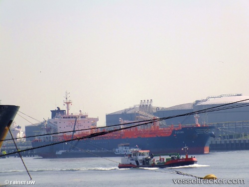
 GREAT FORTUNE
Current Status
Where is the vessel?
GREAT FORTUNE is currently in 82 nm SE of Pyapon, based on AIS data received about 5d ago.
Latest AIS update:
Current position: 15.22543° N, 96.57677° E (82 nm SE of Pyapon)
Average speed (last 7 days): Loading…
Average speed (last 30 days): Loading…
Vessel profile: GREAT FORTUNE is a Oil/Chemical Tanker with dimensions m x m.
This page combines live AIS, route history, probable destination signals, nearby traffic, and port activity for practical vessel monitoring.
The current position of vessel GREAT FORTUNE is 15.22543 lat / 96.57677 lng. Updated: 2026-05-18 04:41:28 UTCNearest reference points:
- 80 nm SW of Sangkhla Buri Customs House
- Near Thilawa
- 84 nm NW of Yetagun Field
Currently sailing under the flag of Marshall Islands ![]()
Details:
Live Vessel GREAT FORTUNE Analytics (details, animations, etc.)
Recent AIS points (UTC):
2026-05-18 04:41:28 UTC · 15.22543, 96.57677 · SOG 11.7 kn · COG 146°2026-05-18 04:41:28 UTC · 15.22543, 96.57677 · SOG 11.7 kn · COG 146°
2026-05-18 04:41:28 UTC · 15.22543, 96.57677 · SOG 11.7 kn · COG 146°
2026-05-18 04:41:28 UTC · 15.22543, 96.57677 · SOG 11.7 kn · COG 146°