 vesseltracker.com
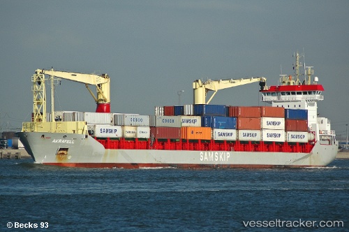
 AL UDEID
Current Status
Where is the vessel?
AL UDEID is currently in 11 nm NW of Bozcaada, based on AIS data received about 2h ago.
Latest AIS update:
Current position: 39.93065° N, 25.87627° E (11 nm NW of Bozcaada)
Average speed (last 7 days): Loading…
Average speed (last 30 days): Loading…
Vessel profile: AL UDEID is a General Cargo Ship with dimensions 18m x 145m.
This page combines live AIS, route history, probable destination signals, nearby traffic, and port activity for practical vessel monitoring.
The current position of vessel AL UDEID is 39.93065 lat / 25.87627 lng. Updated: 2026-05-14 10:06:54 UTCNearest reference points:
- 14 nm SW of Bozcaada
- Near Bozcaada
- 10 nm W of Akcansa
Currently sailing under the flag of Panama ![]()
AL UDEID built in 2004 year
Deadweight:
10508 tDetails:
Live Vessel AL UDEID Analytics (details, animations, etc.)
Recent AIS points (UTC):
2026-05-14 07:22:42 UTC · 40.22402, 26.44702 · SOG 13 kn · COG 234°2026-05-14 07:25:41 UTC · 40.21860, 26.43488 · SOG 13 kn · COG 238°
2026-05-14 09:35:55 UTC · 39.99767, 25.96675 · SOG 11.3 kn · COG 236°
2026-05-14 10:06:54 UTC · 39.93065, 25.87627 · SOG 11.5 kn · COG 217°