 vesseltracker.com
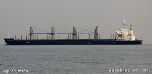
Matakana Island
Current StatusWhere is the vessel?
Matakana Island is currently in 152 nm N of Lakuramau, based on AIS data received less than 1h ago.
Latest AIS update:
Current position: 0.36170° S, 151.40167° E (152 nm N of Lakuramau)
Average speed (last 7 days): Loading…
Average speed (last 30 days): Loading…
Vessel profile: Matakana Island is a Bulk Carrier with dimensions 30m x 175m.
This page combines live AIS, route history, probable destination signals, nearby traffic, and port activity for practical vessel monitoring.
The current position of vessel Matakana Island is -0.36170 lat / 151.40167 lng. Updated: 2026-05-13 22:17:11 UTCDetails:
Live Vessel Matakana Island Analytics (details, animations, etc.)
Recent AIS points (UTC):
2026-05-13 19:27:21 UTC · -0.84621, 151.79390 · SOG 13.2 kn · COG 326°2026-05-13 19:59:22 UTC · -0.75482, 151.72018 · SOG 13.2 kn · COG 326°
2026-05-13 22:10:11 UTC · -0.38189, 151.41766 · SOG 13 kn · COG 325°
2026-05-13 22:17:11 UTC · -0.36170, 151.40167 · SOG 13 kn · COG 325°