 vesseltracker.com
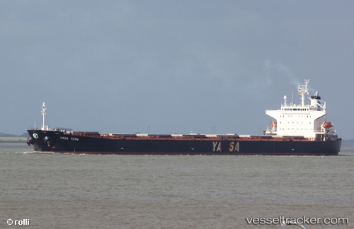
 OCEAN BRIGHT
Current Status
Where is the vessel?
OCEAN BRIGHT is currently in 13 nm SE of Bunati, based on AIS data received less than 1h ago.
Latest AIS update:
Current position: 3.91361° S, 115.75168° E (13 nm SE of Bunati)
Average speed (last 7 days): Loading…
Average speed (last 30 days): Loading…
Vessel profile: OCEAN BRIGHT is a Bulk Carrier with dimensions m x m.
This page combines live AIS, route history, probable destination signals, nearby traffic, and port activity for practical vessel monitoring.
The current position of vessel OCEAN BRIGHT is -3.91361 lat / 115.75168 lng. Updated: 2026-05-17 01:35:15 UTCNearest reference points:
- 12 nm SE of Bunati
- Near Bunati
- Near TANJUNG PEMANCINGAN
Currently sailing under the flag of Liberia ![]()
Details:
Live Vessel OCEAN BRIGHT Analytics (details, animations, etc.)
Recent AIS points (UTC):
2026-05-16 22:50:15 UTC · -3.91227, 115.75071 · SOG 0 kn · COG 220°2026-05-17 00:11:14 UTC · -3.91252, 115.75104 · SOG 0.1 kn · COG 230°
2026-05-17 00:56:15 UTC · -3.91335, 115.75158 · SOG 0.1 kn · COG 258°
2026-05-17 01:35:15 UTC · -3.91361, 115.75168 · SOG 0.1 kn · COG 260°